
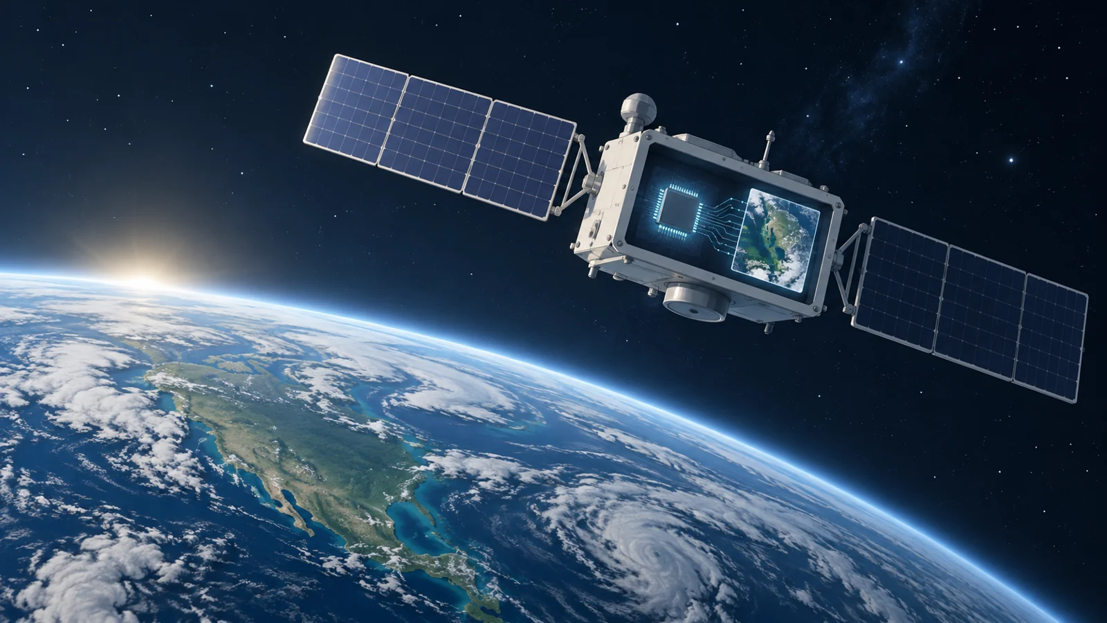
Onboard AI for satellite imagery processing
Can satellites reliably run and update AI onboard to process imagery, including hyperspectral data, under space-environment constraints?
Following this research connects advances in onboard inference and training with imaging-payload design, helping readers distinguish proposed processing methods from demonstrated satellite capabilities.
Where it stands now
Main bottleneck
Establishing that fast inference and training methods can handle satellite imagery reliably under the space-environment challenges identified in payload design.
Watch next
An onboard demonstration reporting processing speed and reliability on satellite imagery, with evidence of how the payload handles space-environment constraints.
Progress timeline
How the evidence has changed over time.
2024 · 2 updates
- What it takes for a satellite to understand its own detailed imagesResearch note 2 of 3 · Source date 2024-04-09
Since the previous research note · Earlier expectation not tested
Track continuity
Since the previous research note: How a satellite learned to classify cloudy image tiles
Previous expectation: Satellites could learn narrower image-processing tasks after deployment and adapt locally when communications are constrained, provided those tasks remain dependable in operation.
What this study adds: The April 2024 review organizes hyperspectral model choices, training-data limitations and hardware options, including a workflow that uplinks models for onboard inference. It contributes a broader account of processing requirements rather than direct validation of the earlier local-adaptation forecast.
Current research note
- How Loris combines cameras, computing and image handling in orbitPartly supportedResearch note 3 of 3 · Source date 2024-04-12
Since the previous research note · Partly supported
Track continuity
Since the previous research note: What it takes for a satellite to understand its own detailed images
Previous expectation: Satellites could deliver useful onboard scene classifications once suitable labels and workable hardware made the selected models dependable.
What this study adds: Loris supplies a concrete launched imaging platform, a cloud-labeling proof of concept and reported early thumbnail operations. Its proposed ground-assisted labeling loop addresses adaptation, but the supplied evidence does not establish routine hyperspectral interpretation or measured gains from orbital fine-tuning.
Current research note
2023 · 1 update
- How a satellite learned to classify cloudy image tilesResearch note 1 of 3 · Source date 2023-07-17
How this Track works
This page changes as new evidence arrives. Open any update to see what researchers found at that point in the story.