
Evidence date · 2024-04-09 · Research note 2 of 3
1 2 3
See current Track status →
Since the previous research note · Earlier expectation not tested
Track continuity
Since the previous research note: How a satellite learned to classify cloudy image tiles
Previous expectation: Satellites could learn narrower image-processing tasks after deployment and adapt locally when communications are constrained, provided those tasks remain dependable in operation.
What this study adds: The April 2024 review organizes hyperspectral model choices, training-data limitations and hardware options, including a workflow that uplinks models for onboard inference. It contributes a broader account of processing requirements rather than direct validation of the earlier local-adaptation forecast.
What changed in this study
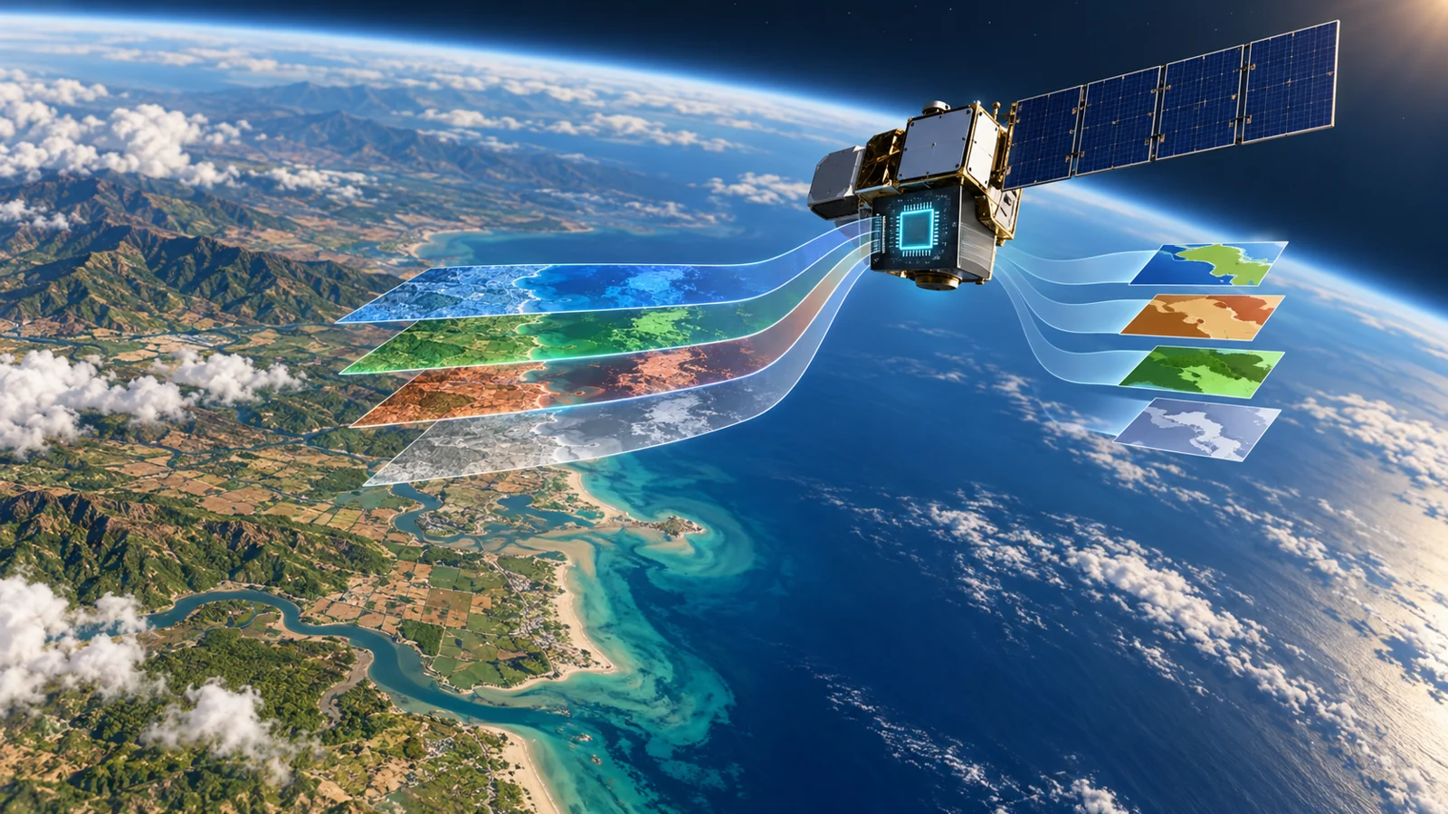
A satellite does not see Earth in just one broad band of light. Hyperspectral imagery records information across many wavelength bands, giving each pixel a richer spectral description of the scene. That extra information can help distinguish materials and environments, but it also creates a harder processing problem: can a spacecraft interpret the image while it is still operating, rather than sending all the data to the ground first?
A review published as an April 9, 2024 arXiv preprint examines that question through the deep-learning methods, datasets and hardware options discussed in earlier work. Its account is useful because it connects the complete route from a model trained on the ground to an algorithm running inside a spacecraft. It also shows why recognizing a familiar feature such as a cloud is a narrower achievement than reliably interpreting complex hyperspectral scenes.
How a trained model reaches the spacecraft
The review describes a deployment sequence in which models are prepared on the ground and then uplinked to the satellite. Once installed, the model performs near-real-time inference on incoming imagery. Inference here means applying an already trained model to new data and producing a result, such as a scene classification. The computation has moved closer to the sensor, but the learning process described in this workflow has not moved onboard.
That distinction matters. A spacecraft running a model is not necessarily learning a new task, updating its own training set or adapting its decision rules during the mission. The reviewed workflow is more bounded: ground systems develop or select the model, the model is transferred to the spacecraft, and onboard hardware applies it to data as images arrive. This could make an initial interpretation available before raw imagery is downlinked and processed on the ground; it does not, by itself, establish how much latency, downlink demand or power use would change.
The paper surveys several families of deep-learning architecture, including convolutional networks, autoencoders, deep belief networks, generative adversarial networks and recurrent networks. Their relevance depends on the task and the resources available aboard the spacecraft. A model that is effective in a research setting may still be a poor fit for a payload with limited processing capacity or a strict need for timely results.
What cloud detection shows about onboard analysis
Cloud detection provides a concrete example of what onboard analysis can look like. The review describes one- and two-dimensional convolutional networks tested for this task, including an example associated with the Phi-Sat-1 mission. It reports high accuracy for a bounded cloud-detection case, with one-dimensional convolution receiving particular attention for onboard use.
A cloud detector has a defined target: identify whether a pixel or image region matches the task’s cloud category. Richer hyperspectral analysis may require the system to distinguish several kinds of terrain, water and atmospheric conditions while also coping with variation in illumination, noise and the quality of the incoming measurements. A result on the first task can therefore guide model selection without establishing a winning architecture for every task a satellite might face.
The review also discusses complex multistep image-processing methods whose computational demands make them unsuitable for near-real-time processing in the settings considered. These methods may contain useful analytical ideas, but a long sequence of operations can be difficult to fit into an onboard processing budget. Lightweight convolutional models, including compact designs such as GhostNets and one-dimensional networks, are presented as possible ways to reduce that burden. The tradeoff is not simply accuracy versus speed in the abstract. It is whether a particular model can perform the required task with acceptable behavior on the actual data and hardware available in orbit.
The hardest part may be the training examples
Deep learning needs examples that connect an input image to a dependable answer. Collecting more hyperspectral images helps, but it is not the same as obtaining trustworthy ground-truth labels. A label must identify what the image, pixel or region represents, and producing those labels can be especially time-consuming when scenes contain mixed or ambiguous conditions.
The review gives the HYPSO-1 dataset as a concrete example of efforts to expand the available material. It describes a labeled collection of 200 hyperspectral images covering sea, cloud and land for training onboard segmentation algorithms. That makes the data problem visible, but it also illustrates its scale: a collection can be valuable while still being limited compared with the range of scenes a deployed model may encounter.
The inputs themselves can be difficult to interpret. The review identifies noisy data and limited atmospheric correction in level-zero data as concerns for onboard processing. In practical terms, the model may receive measurements that contain unwanted variation or have not undergone all the corrections researchers might prefer before analysis. A classifier trained on clean, representative examples may not behave the same way when the incoming data are less settled.
The paper discusses generative methods as possible responses, with distinct purposes. Data augmentation aims to enlarge or diversify the training material, while denoising aims to reduce unwanted variation in the samples or inputs. Generative adversarial networks are considered in connection with both creating augmented data and reducing noise. These approaches may help address specific weaknesses, but synthetic examples do not by themselves guarantee representative labels, and denoising does not remove the need to understand the quality and limitations of the measurements being processed.
A capable algorithm still needs a capable chip
The physical implementation is a separate part of the problem. An algorithm is a set of computational steps for turning measurements into a result. A field-programmable gate array, or FPGA, is a chip whose logic can be configured for a particular processing task. It can be adapted to perform operations in a way suited to an airborne or spaceborne system, which is why the review identifies FPGAs as a promising option for onboard image processing.
Hardware suitability, however, is not the same as a completed deep-learning implementation. A network must still be translated into an arrangement that the chosen FPGA can execute, with its operations, memory use and data movement fitted to the proposed hardware architecture. The review notes that relatively few studies had explored deep-learning implementation on FPGAs and identifies this as an area for future work.
This separation keeps the engineering claim precise. A programmable chip may offer a route toward efficient processing, but it does not automatically make every reviewed network ready for flight. The model, the input data and the hardware have to work together for the intended task.
What onboard image analysis could change for Earth observation
The April 2024 review points toward a future in which Earth-observation satellites produce useful scene classifications during operation. A spacecraft could identify clouds or help segment sea, cloud and land closer to where those images are acquired, giving mission teams interpreted information without waiting for every decision to be made after downlink. The broader value of that capability depends on representative labeled data, dependable handling of noisy inputs and workable implementations of the selected models on onboard hardware.
That possibility is more specific than a general promise that satellites will soon understand any image they collect. The reviewed cloud-detection examples show how a constrained task can be brought closer to the sensor, while the data and hardware discussion shows what must still be made dependable before richer hyperspectral interpretation can become a routine service. In April 2024, the review described an active direction of research, not an achieved universal onboard-analysis capability.
Key Sources
- Primary source: Onboard Processing of Hyperspectral Imagery: Deep Learning Advancements, Methodologies, Challenges, and Emerging Trends
arXiv · Preprint · 2024-04-09