
Research Signal – Source date 2022-04-29
Small spacecraft heading toward the Moon bring a tracking problem with them. Mission operators need to know where each satellite is and how it is moving, yet ground stations have limited capacity. Tracking also requires communications from spacecraft with constrained onboard power. For missions intended to be inexpensive, dependence on ground operations can become a substantial burden.
An April 29, 2022 preprint examines whether spacecraft could estimate their own orbits by exchanging radio measurements. Its clearest comparative result is that measuring the distance between satellites produced better overall orbit estimates than measuring only how quickly that distance changed, under the tested conditions. The study investigates which measurements and operating arrangements help an existing navigation approach called LiAISON. Its evidence comes from mathematical analysis and numerical simulations, with practical flight performance still a separate question.
How measuring a neighbor can reveal an orbit
A radio link supplies information about the relationship between two spacecraft. Range is their separation; range-rate is how quickly that separation increases or decreases. Neither measurement, taken once, specifies both spacecraft’s complete positions and velocities. Many possible arrangements can share the same distance at one moment.
The navigation method combines a sequence of measurements with a model of how the spacecraft move under gravity. A candidate pair of orbits predicts how their separation should evolve. Comparing those predictions with successive observations helps an estimator distinguish between possible orbital states and adjust its estimates of position and velocity.
This ability to tell possible states apart is called observability. A very precise measurement can still leave an important ambiguity if different candidate orbits produce similar observations. Conversely, a changing viewing direction and separation can expose differences that would be hard to detect in a less informative formation.
The paper connects this information to both the direction of observation and the way small differences in position and velocity develop along an orbit. It identifies configurations whose orbits do not lie in the same plane, together with varying distances between satellites, as generally helpful. The spacecraft’s motion therefore contributes to navigation: the evolving formation gives the estimator different views of the unknown orbital states.
What the measurement comparison actually tested
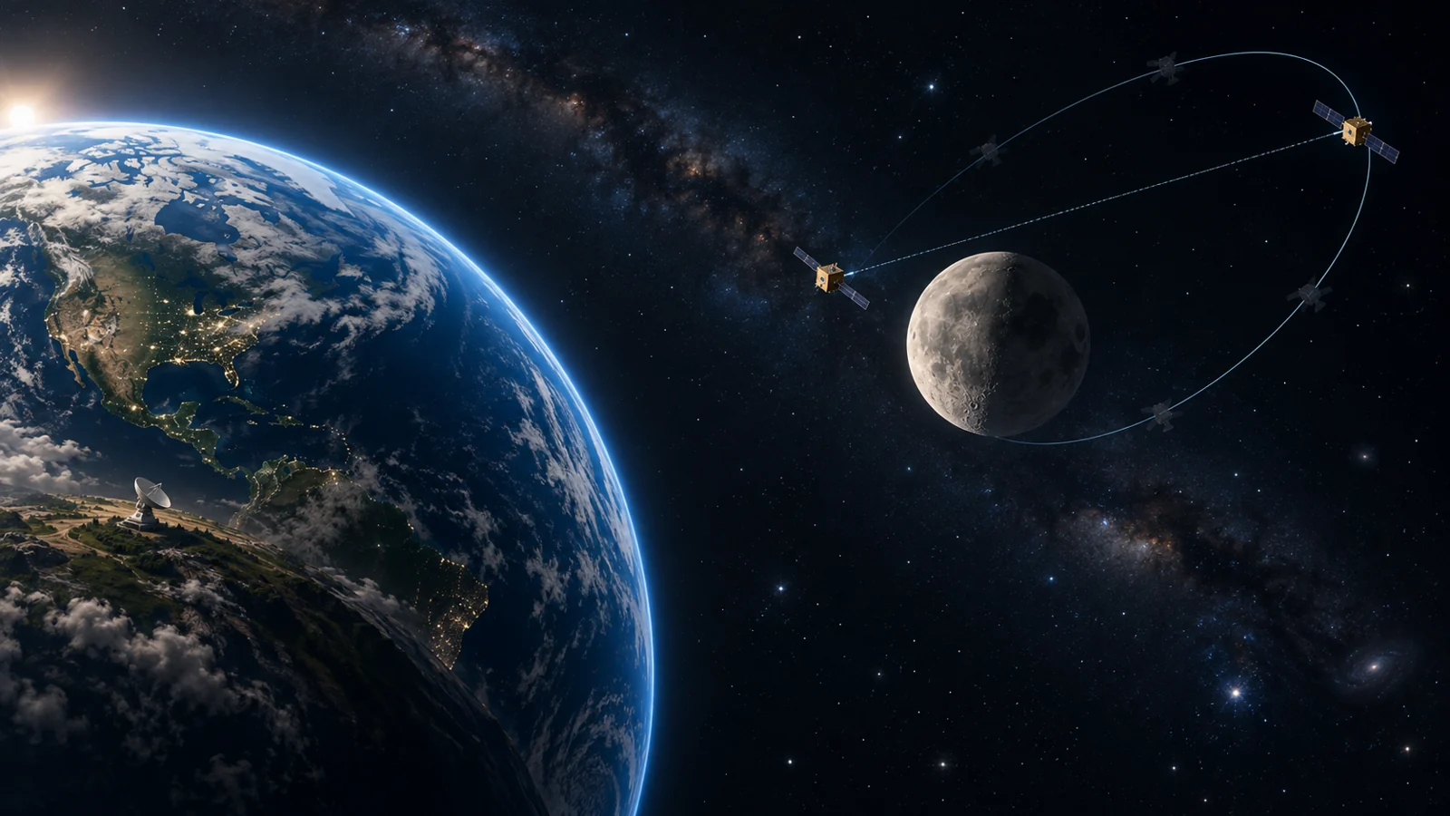
In one shared test scenario, one spacecraft orbited the Moon while another followed a southern halo orbit around the Earth–Moon L2 region, beyond the Moon. The researchers compared distance, distance-change and line-of-sight angle measurements with assumed errors of 1 meter, 0.3 millimeters per second and 0.5 degrees, respectively. This comparison assumed no measurement bias.
Those numbers describe errors in the observations fed into the estimator. They do not mean that the spacecraft’s position was determined to within 1 meter or its velocity to within 0.3 millimeters per second. The resulting orbit accuracy depends on how the estimator combines imperfect measurements over time with the modeled motion.
Across the reported orbital configurations, the study’s comparison favored range-only observations over range-rate-only observations under the stated error assumptions. The distinction is understandable in terms of what each measurement constrains. Distance directly limits the possible separation at an observation time. Its rate of change constrains how that separation is evolving, while leaving the separation itself to be inferred through other information and the dynamics. How well those constraints resolve the full orbital state depends on the trajectory and the measurement errors.
Range-rate still contributed useful additional information for particular geometries when combined with range. The result therefore supports a choice under the modeled conditions, rather than a universal ranking for every navigation system. Adding radio-derived line-of-sight angles did not improve performance in the reported tests; even a comparison combining range with almost perfect angles yielded no improvement. An additional measurement type only helps when it supplies information the estimation problem can use.
How precise does the radio link need to be?
Choosing distance as an observable leaves another engineering question: how should the spacecraft measure it? The paper discusses conventional pseudo-noise ranging, which uses a coded navigation signal, alongside telemetry-based and timing-based approaches. These methods have different relationships to the communications system. Conventional pseudo-noise ranging depends on the navigation signal’s chip rate, while the alternatives discussed connect ranging performance to data transmission timing or rate.
That distinction matters for small spacecraft because the most precise measurement method is not automatically necessary for every mission. In orbital configurations where the observations strongly distinguish possible states, less precise ranging may still satisfy a mission’s navigation requirements.
The preprint illustrates the tradeoff by discussing earlier radio hardware tests using ping requests to measure round-trip light time. In its account of that work, ranging errors were 155 meters under strong signal conditions and 303 meters under realistic worst-case conditions, at a data rate of 10 kilobits per second. These are reported one-standard-deviation measurement errors from the earlier tests, not position errors achieved by this paper’s navigation simulations.
The practical question is whether a radio’s measurement precision, under the expected communication conditions, is sufficient for a particular formation and mission. Those earlier hardware results help describe a possible measurement option; they do not validate the complete orbit-determination system analyzed here.
What could erode the modeled performance
The study uses the circular restricted three-body problem to model spacecraft motion in the Earth–Moon system. This is a simplified gravitational model in which Earth and the Moon follow circular motion and the spacecraft do not affect their motion. It makes the navigation comparisons tractable, but practical operation would require establishing that useful performance survives the differences between the model and the spacecraft’s actual environment.
For its investigation of measurement accuracy, the researchers used 100 Monte Carlo executions—repeated simulations used to examine performance across realizations of measurement error. This gives a broader numerical comparison than a single run. It remains evidence about the tested assumptions and configurations, rather than an operational navigation guarantee.
The paper also examines two ways measurements can become less useful. A systematic offset, or bias, can persist across observations and distort the inferred state. Longer intervals between observations leave fewer opportunities to correct the estimate as the spacecraft move. Both reduced navigation performance in the reported analysis. A workable system consequently needs to address measurement consistency and availability as well as nominal precision.
For formations with more than two spacecraft, the arrangement of radio connections introduced another choice. The study found better overall state estimation with a mesh topology, in which measurements connect spacecraft across the formation, than with a centralized topology organized around a central spacecraft. This extends the design problem beyond an individual radio: which spacecraft measure one another also affects the information available to the estimator.
The proposed autonomy concerns determining orbits. It does not by itself establish autonomous maneuver planning or spacecraft control, and it does not make communications with Earth unnecessary. Any savings in cost, power or ground-station use would require their own operational assessment.
What this could change
If practical crosslinks and onboard estimation preserve the modeled performance, small spacecraft operating around the Moon could derive more of their orbit information from one another. That could reduce their dependence on ground tracking and ease the burden on mission operators and constrained ground stations.
The causal path is concrete: repeated radio measurements constrain the spacecraft’s motion, onboard estimation turns those observations into orbit estimates, and operators need less ground tracking to obtain that information. For lunar missions involving several small spacecraft, this could make tracking a growing formation more manageable while retaining Earth communications for the mission’s other needs.
Key Sources
- Primary source: Performance Analysis of Crosslink Radiometric Measurement based Autonomous Orbit Determination for Cislunar Small Satellite Formations
arXiv · Preprint · 2022-04-29
Keep exploring